Storm Christoph 2021: what parts of Yorkshire will get heavy rain as Met Office issues amber weather warnings?
Heavy rain and floods are expected in South Yorkshire, as Storm Christoph sweeps across the UK.
The Met Office has issued an amber weather warning of rain for Yorkshire and Humber areas, with a "danger to life" due to fast-flooding or deep floodwater.
Advertisement
Hide AdAdvertisement
Hide AdIt warned that some communities could even be "cut off" by flooded roads and predicted delays or cancellations to public transport.

There could also be possible disruption to water supplies, gas or electricity.
What are the worst hit areas?
The amber weather warning covers Leeds and the surrounding areas, including Bradford, Wakefield, Huddersfield, Askern, Ilkely, Tadcaster, Doncaster, and Sheffield among others.
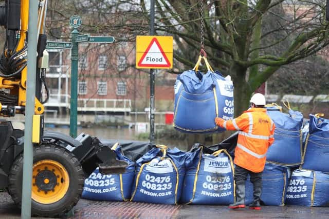
The mayor of Doncaster, Ros Jones, said a "major incident" had been declared in preparation for potential flooding, with sandbags handed out to those areas most at risk.
Advertisement
Hide AdAdvertisement
Hide AdNo fewer than 15 flood warnings have been issued by the Environment Agency across the UK, meaning flooding is expected and immediate action is required, including parts of Yorkshire.
The River Ouse in York, the River Derwent at Buttercrambe Hill and River Seven at Marton are all signalled as red areas, while there are 117 flood alerts issued across the UK.
The North West, East Midlands and the east of England have also been told to prepare for the worst of Storm Christoph, with large parts of the country also in a yellow weather warning.
How much rain is expected to fall?
The amber weather warning is in place until 12noon on Thursday 21 January in which time nearly three inches of rain (up to 70mm) is forecast to fall in the worst hit areas.
Advertisement
Hide AdAdvertisement
Hide AdWhile there could be much more - nearly eight inches (200mm) - in the northern Peak District and parts of the southern Pennines.
The constant downpours through Tuesday (19 January) and Wednesday (20 January), combined with the melting snow on higher ground, is likely to cause flooding in some areas.
"That rain is falling on very wet ground and so we are very concerned that it's a very volatile situation and we are expecting significant flooding to occur on the back of that weather," said Catherine Wright, acting executive director for flood and coastal risk management at the Environment Agency.
The Environment Agency is working with local authorities to help with evacuation efforts should a severe flood warning be issued, adding: "If you do need to evacuate then that is allowed within the Covid rules the Government has."
What does an amber warning mean?
Advertisement
Hide AdAdvertisement
Hide AdIf the weather gets really bad, weather warnings are issued to advise people about the level of care they need to take in response to the conditions.
These conditions could include heavy rain, snow, wind, fog and ice and are colour coded using yellow, amber and red alert levels - red being the most serious.
An amber weather warning is the next level down from red and means that the weather is quite likely to impact the people within those areas.
"There is an increased likelihood of impacts from severe weather, which could potentially disrupt your plans," the Met Office guidance states.
This could mean the severe weather conditions lead to travel delays, road and rail closures, power cuts and "the potential risk to life and property".