Weekend Walk: Damflask Reservoir


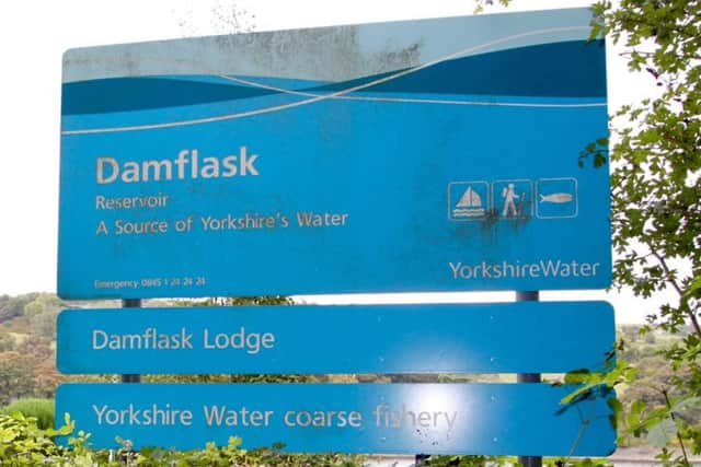
The reservoir is one of a chain of four completed in 1896 to provide water for the kitchen taps and factories of Sheffield and takes its name from a village washed away in the Great Sheffield flood of 11th March 1864, when one of the new reservoirs burst its dam and at least 240 people died. Today, the reservoir and the nearby villages of Low and High Bradfield are popular destinations for people from Sheffield. This lovely walk mostly follows waterside paths provided by Yorkshire Water and is excellent for birdwatching in winter. On the reservoir look for goldeneye, smew, mandarin duck; around the wooded parts of the shore there are long-tailed tits and nuthatches.
1. Leave the car park by walking south on The Sands. Turn left into Mill Lee Road and opposite The Schoolrooms cafe turn left again into Smithy Bridge Road. At the end go right on Lamb Hill and walk along the lane with care.
Advertisement
Hide AdAdvertisement
Hide Ad2. Before the road starts to rise up to the left go right on the path signposted through a fence on the right and follow the good path beside Damflask Reservoir. Pass the sailing club and follow the path up to a road. Turn right and walk along the road with care to join the B6077.
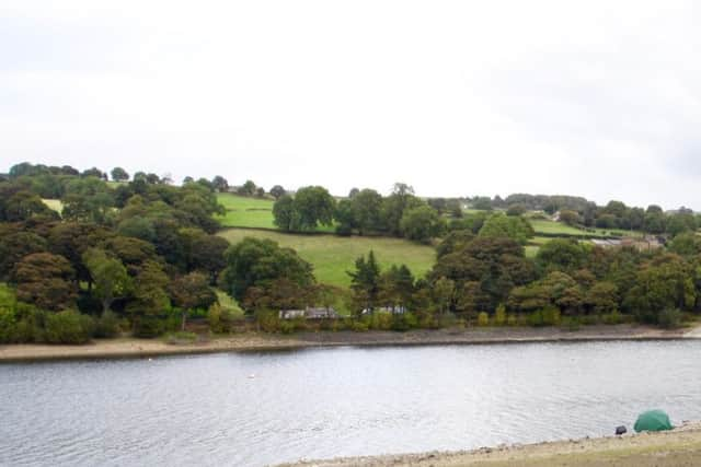
3. Turn right to follow the pavement across the dam to the other side. This forms part of the eastern boundary of the Peak District National Park. The B6077 swings right and to become New Road. Pass the dam keeper’s house and take a path immediately on the right leading back to the shore. Follow it as it takes a course parallel to New Road.
4. As New Road climbs uphill to the left keep to the path beside the reservoir. The path eventually arrives at School Lane. Turn right for a short distance, then left into Lamb Hill and retrace early steps back to the car park by going left on Smithy Bridge Road, right on Mill Lee Road, and right on The Sands.
Difficulty rating: 1 star
Distance: 3 1/2 miles
Time: 2 hours
Map: OS Explorer sheet OL1 (1:25000) The Peak District: Dark Peak area.
Advertisement
Hide AdAdvertisement
Hide AdParking: Car park in The Sands, Low Bradfield. Postcode for satnav S6 6LB, grid ref SK 26269204.
Public transport: Low Bradfield is served by direct 61 & 62 buses beginning at Sheffield Arundel Gate/Charles St. For details visit www.travelsouthyorkshire.com or phone 01709 515151.
Toilets: Low Bradfield
Refreshments: Low Bradfield, High Bradfield.