Yorkshire heatwave: Yellow weather warning for thunderstorms in Leeds, York, Sheffield, Bradford, Doncaster and Harrogate

While some places are expected to remain dry, thunderstorms are likely to occur throughout the day on Monday, August 15, across Yorkshire which will bring heavy rain and possible disruption.
Cities and towns across the region have been issued with a yellow weather warning by the Met Office, namely: Leeds, Sheffield, York, Doncaster, Harrogate and Bradford.
Advertisement
Hide AdAdvertisement
Hide AdMet Office deputy chief meteorologist, Jason Kelly, said: “The current hot weather will make way for a thundery breakdown from the west which will spread south and east in the early part of next week. Ahead of this, isolated but intense thunderstorms are possible Sunday and Monday.
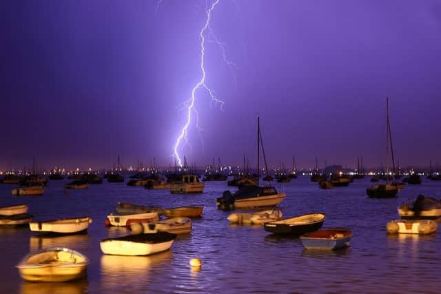

“The warnings highlight the chance of some places seeing around 50mm of rain falling in a three-hour period in the north, with some areas further south possibly seeing around 30mm of rain in a three-hour period. Hail and frequent lightning are also possible as part of these downpours and represents an additional hazard.
“We’re continuing to monitor how these thundery showers develop on Tuesday and Wednesday next week. There’s a chance of some quite intense downpours at times for some areas and we’re refining the likely location of these in the coming days.”
Here is what these areas can expect from potential thunderstorms according to the weather service:
Advertisement
Hide AdAdvertisement
Hide AdThere is a small chance that homes and businesses could be flooded quickly, with damage to some buildings from floodwater, lightning strikes, hail or strong winds.
Where flooding or lightning strikes may occur, there is a chance of delays and some cancellations to train and bus services.
Spray and sudden flooding may result in difficult driving conditions and some road closures.
There may be a small chance that power cuts could occur and other services to some homes and businesses could be lost.
Advertisement
Hide AdAdvertisement
Hide AdThe UK has been experiencing a continuous heatwave since Tuesday, August 9, and the current Amber weather warning could continue through the weekend.
Thunderstorms might already be underway for Northern Ireland and parts of Scotland by early Monday, before also developing across parts of England and Wales by late morning and into the afternoon.
The storms should begin to ease from the west later in the day.
Comment Guidelines
National World encourages reader discussion on our stories. User feedback, insights and back-and-forth exchanges add a rich layer of context to reporting. Please review our Community Guidelines before commenting.