M1 traffic: Drivers on Yorkshire motorway warned over high winds as Storm Dudley and Storm Eunice set to hit
The agency is advising drivers to take care and be prepared for strong gales after the Met Office issued a series of weather warnings for the days ahead.
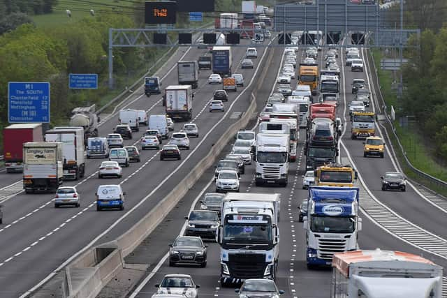
Motorists, particularly those driving high-sided HGVs, caravans and motorcycles, are advised to check the weather and driving conditions before setting out on journeys.
Advertisement
Hide AdAdvertisement
Hide AdThey are also being urged to pay extra attention in exposed locations such as coastal and high lying areas, and when near bridges which could be affected by the high winds.

Storm Dudley is expected to bring wind speeds of between 60mph and 70mph across the north on Wednesday afternoon before gradually moderating throughout Thursday. It will then be followed by Storm Eunice on Friday.
National Highways has said routes of particular concern are the Humber Bridge and roads around Manchester, Leeds, Newcastle and Middlesbrough. The M6 and A1 are also likely to suffer from considerable cross wind.

Its head of road safety, Jeremy Phillips, said: "We’re encouraging drivers to check the latest weather and travel conditions before setting off and consider if their journey is necessary and can be delayed until conditions improve. If you do intend to travel, then plan your trip and take extra care, allowing more time for your journey.
Advertisement
Hide AdAdvertisement
Hide Ad"In high winds, there’s a particular risk to lorries, caravans and motorbikes so we’d advise drivers of these vehicles to slow down.
"Drivers of other vehicles should be aware of sudden gusts of wind which can affect handling and braking, and give high-sided vehicles, caravans, and motorbikes plenty of space. In the event of persistent high winds we may need to close bridges to traffic for a period, so please be alert for warnings of closures and follow signed diversion routes."
What's the latest advice from the Met Office?
The Met Office has issued an amber weather warning for Wednesday evening for strong winds, covering southern Scotland, northern England and part of Northern Ireland, with a wider area covered by a yellow warning.
Yellow warnings covering a wide area, including Leeds, are in place for Thursday and Friday too.
Advertisement
Hide AdAdvertisement
Hide AdStorm Eunice is expected to bring heavy rain and possible snowfalls on high ground from the Midlands northwards, the Met Office said.
It said that, where snow does fall, the high winds are likely to create blizzard conditions.
Met Office chief meteorologist Paul Gundersen said: "An active jet stream is driving low-pressure systems across the country, both of which are likely to cause some disruption and National Severe Weather Warnings have been issued."
Storm Dudley is expected to bring wind gusts of up to 80mph-90mph on exposed coasts and hills of Scotland, with 60mph-70mph possible further inland.
Advertisement
Hide AdAdvertisement
Hide AdWinds are expected to ease through Thursday afternoon and evening, forecasters said.
Storm Eunice will track across central areas of the UK on Friday with further very strong winds expected, with 60mph-70mph gusts possible inland, perhaps even stronger in some places.
The Met office has said that pin-pointing the strongest winds and worst-affected areas is uncertain at the moment.